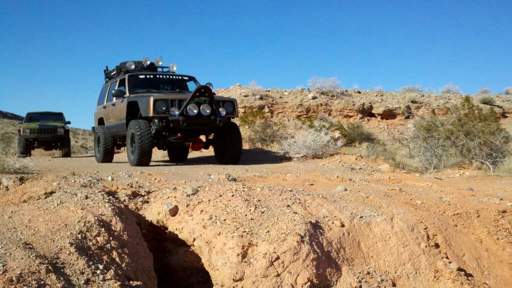
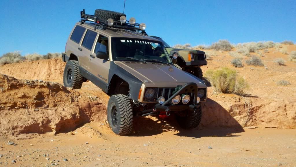
Las Vegas and Surrounding Trails

Thread Starter
Senior Member
Joined: Mar 2011
Posts: 522
Likes: 0
From: Las Vegas
Year: 1992
Model: Cherokee
Engine: 4.oL H.O. 784 injectors, EV6 to EV1 connectors, APN header, Dynomax exhaust
Originally Posted by SirLasVegas
I cant be seen with you until I paint mine dark earth  lol
lol
lol
Thread Starter
Senior Member
Joined: Mar 2011
Posts: 522
Likes: 0
From: Las Vegas
Year: 1992
Model: Cherokee
Engine: 4.oL H.O. 784 injectors, EV6 to EV1 connectors, APN header, Dynomax exhaust
Senior Member
Joined: May 2011
Posts: 841
Likes: 0
From: Las Vegas, Nevada
Engine: 4.0L
boathouse cove looks like a really chill spot
Thread Starter
Senior Member
Joined: Mar 2011
Posts: 522
Likes: 0
From: Las Vegas
Year: 1992
Model: Cherokee
Engine: 4.oL H.O. 784 injectors, EV6 to EV1 connectors, APN header, Dynomax exhaust
Originally Posted by sandfish88
sweeeeeeeeeeeeet. THat will take me forever to do every one
boathouse cove looks like a really chill spot
 4hi problem?
Thread Starter
Senior Member
Joined: Mar 2011
Posts: 522
Likes: 0
From: Las Vegas
Year: 1992
Model: Cherokee
Engine: 4.oL H.O. 784 injectors, EV6 to EV1 connectors, APN header, Dynomax exhaust
Whats the problem with your 4-hi?
We need to start earlier next time so we can go farther out. I say we go all the way up to the snow, or as close as we can get.
We need to start earlier next time so we can go farther out. I say we go all the way up to the snow, or as close as we can get.
Thread Starter
Senior Member
Joined: Mar 2011
Posts: 522
Likes: 0
From: Las Vegas
Year: 1992
Model: Cherokee
Engine: 4.oL H.O. 784 injectors, EV6 to EV1 connectors, APN header, Dynomax exhaust
9. Angel Peak Loop: Elevation 2450 to 8200ft.The easiest way to start this trail is head up Kyle Canyon Rd (NV 157) approximately 10 miles from US 95 there will be guard rails on both sides of NV 157 and a small pull off to the north and the start of a trail just west of this guard rail. If you hit Harris Spring Rd you have gone too far. The pull off is 2.7 miles from Harris Spring Road. That is the beginning of the trail. From here it is best to go with someone that has done this trail before as there are lots of side paths that can be explored, but mostly the trail is pretty straightforward. It will loop around and end back on NV 157 close to the Mt Charelston lodge.
10. Bitter Springs: Elevation 2000 to 3600ft. Start at the Moapa Fireworks store at I-15 and State Route 169,take State Route 169 to the south east ,the first left turn is to The Valley of Fire,otherwise continue on straight.There is fuel and food and help if needed after you exit the trail.Where State Route 169 T's off on Northshore Rd by Lake Mead,you turn left and go for roughly 2 miles,and there is a road to Echo Bay on the right hand side of the road.Follow it it all the way down and you will see food and fuel to your right.If you dont go down to the Marina,the main road leads to Logandale maybe 25-30 min drive further.If you turn right and head back SW it takes you back to Las Vegas by way of one of the Lake Mead entrances.Any 2wd or 4 wd SUV can pass the road all the way through,but do be careful of sand in the washes that can get you stuck,and washed out parts of the road.The road is also very rocky,so SUV's with street tires may not want to go,if you do,be vary careful of the sharp rocks and the puncture hazards.It is very remote,and very beautiful to drive.
11. Wheeler's Pass: Elevation 3100 to 7600ft. Head north on US 95 from Las Vegas about 40 miles. Miles before you get to Indian Springs you will see a prison on the west side of the highway. Turn onto the road in front of the prison. Head west into the mountains about 10 miles and once you pass the dumpsters on the left you will see a sign for Wheeler's Pass and the trail on your right hand side about 1/2 a mile past the dumpsters. The rest of the trail is marked and pretty easy to follow.
Senior Member
Joined: May 2011
Posts: 841
Likes: 0
From: Las Vegas, Nevada
Engine: 4.0L
I need to look at someones for reference and see what the **** is going on.
Thread Starter
Senior Member
Joined: Mar 2011
Posts: 522
Likes: 0
From: Las Vegas
Year: 1992
Model: Cherokee
Engine: 4.oL H.O. 784 injectors, EV6 to EV1 connectors, APN header, Dynomax exhaust
Last edited by duafacia; Dec 22, 2011 at 06:28 PM.