


Since I had to head back out the way I came, I took a road called the Paria Breaks Road for a change of scenery. There were a number of washouts along this route, but nothing that required me to turn back.


After reaching the highway again, I made my up the paved road through Johnson Canyon to reach the Skutumpah Road which would take me back to Cannonville again.

I had to wait for a little traffic jam to pass me by

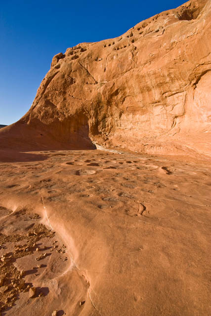
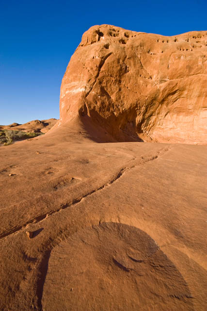
I took another break from driving to hike along the rim of the Bull Valley Gorge.


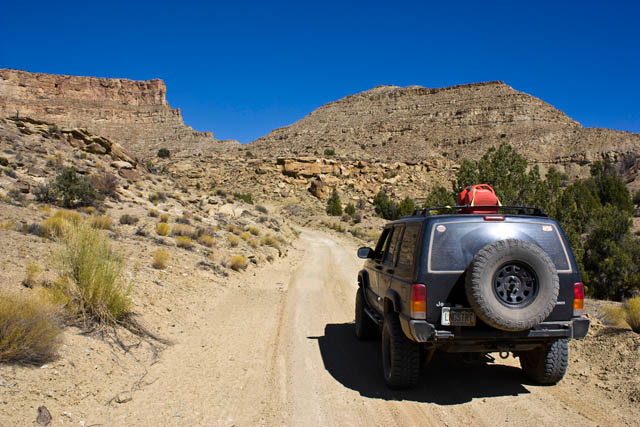
I soon reached Cannonville again, fueled up, and then headed back down Cottonwood Canyon Road. This time the weather was a little better so I got a few more photos from along this route.

Cottonwoods starting to change colors

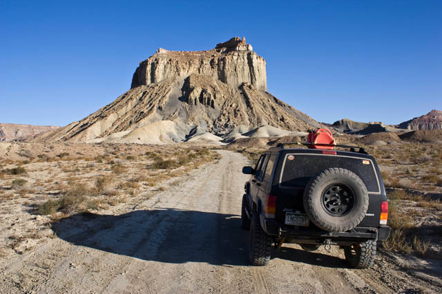
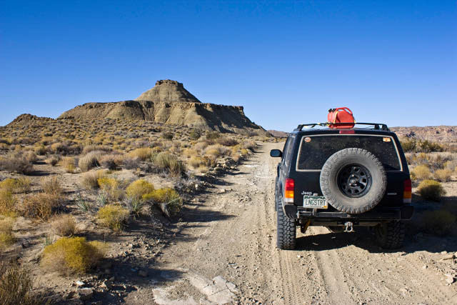
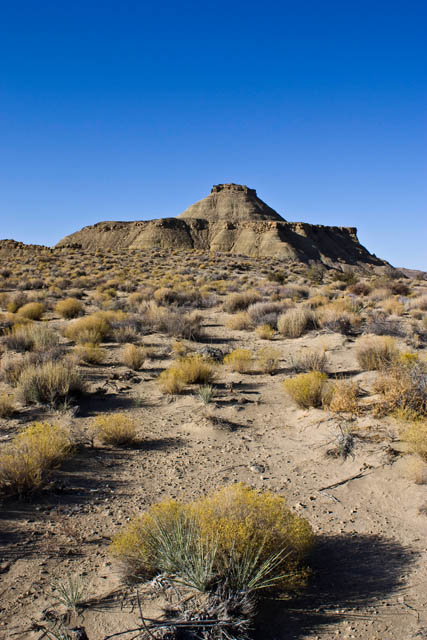
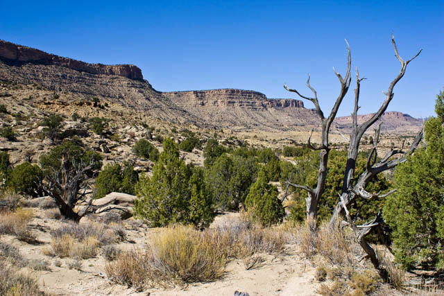
Cockscomb again

Instead of following the same route back that I had taken yesterday, I consulted my maps again and found a loop that would bypass a section of the Cottonwood Canyon Road. This loop consisted of the Brigham Plains Road and the Coyote Valley Road.
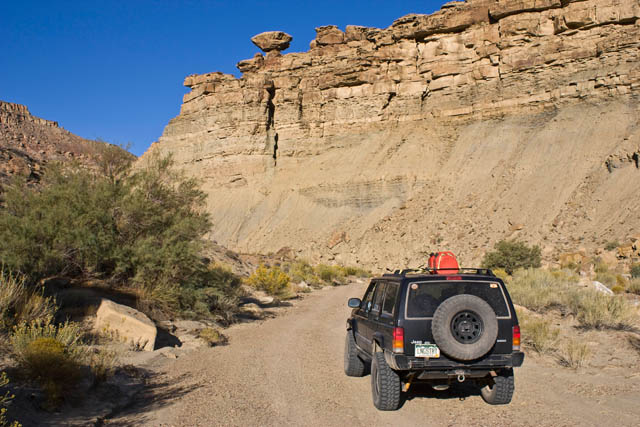
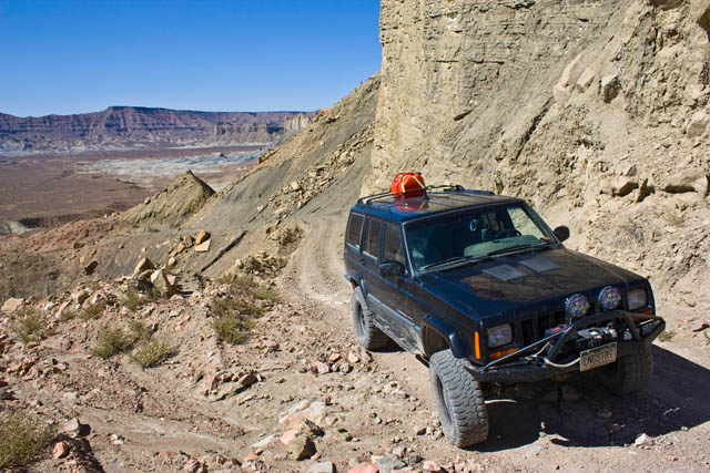
The road immediately switchbacked up behind the Cockscomb up to the top of the Kaiparowits Plateau


I soon reached Cannonville again, fueled up, and then headed back down Cottonwood Canyon Road. This time the weather was a little better so I got a few more photos from along this route.
Cottonwoods starting to change colors
Cockscomb again
Instead of following the same route back that I had taken yesterday, I consulted my maps again and found a loop that would bypass a section of the Cottonwood Canyon Road. This loop consisted of the Brigham Plains Road and the Coyote Valley Road.
The road immediately switchbacked up behind the Cockscomb up to the top of the Kaiparowits Plateau


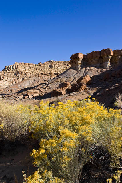
That dome of slickrock back there is known as Yellow Rock, and is popular with photographers

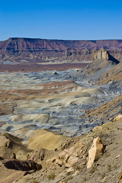
The Cockscomb below

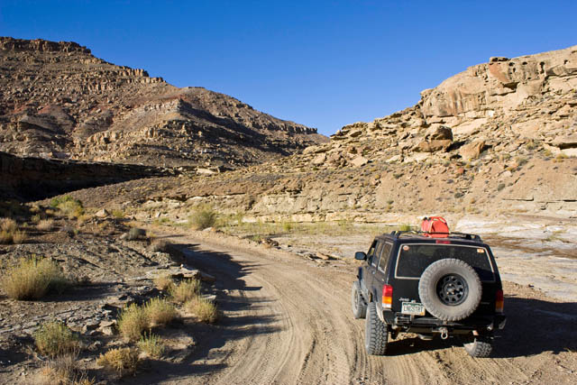
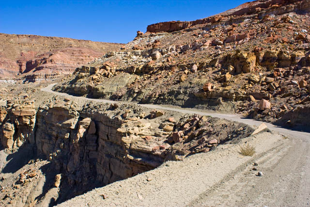
The trail leveled out on top of the plateau and crossed it. Once the trail reached the other side, it switchbacked back down and into Coyote Valley as seen in the photo below. Much of the Coyote Valley Road followed the bottom of a sandy wash, but I was in a hurry to make it back to Alstrom point for sunset, that I did not stop for any photos this time.

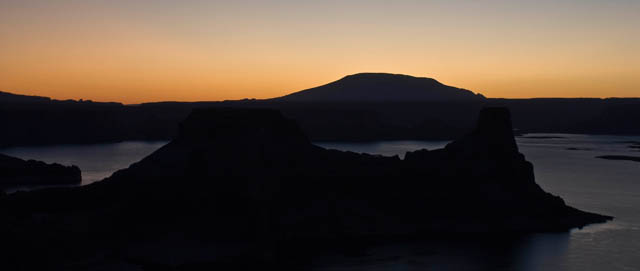
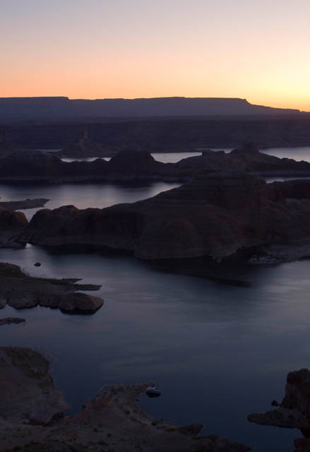
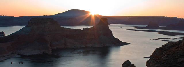
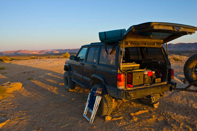
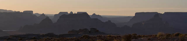
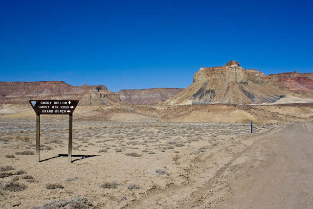
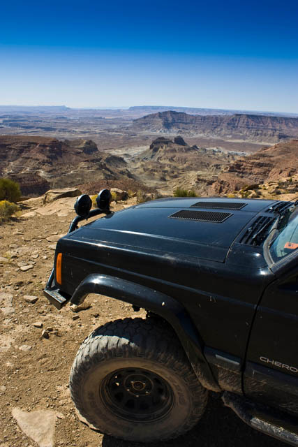
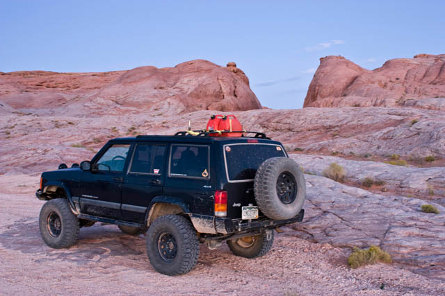
Soon I was back in Big Water and heading up the Smoky Mountain Road and into the Glen Canyon National Recreation Area to reach Alstrom Point. I did end up making it there before sunset, however I was not expecting it to be as windy as it was. I would not be setting up a tent this evening. I made room in the back of my Jeep so I could sleep in there, instead. There were great views of Gunsight Bay, Gunsight Butte and Navajo Mountain to name a few land features.


Shortly before sunset a foreign couple came to take some photos. He was from Italy and his wife from Cuba. They were nice and we chatted a bit before they took off on their way to the Grand Canyon.


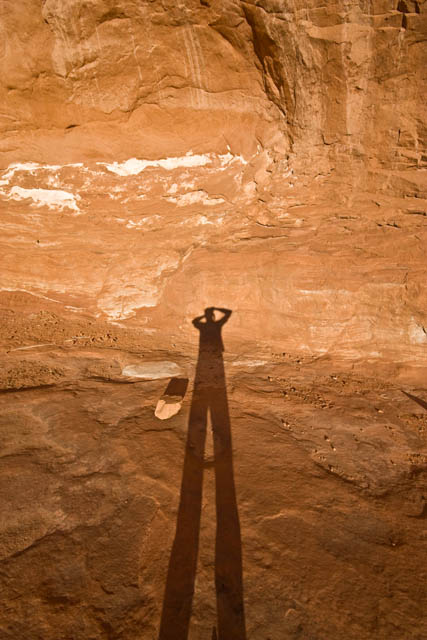
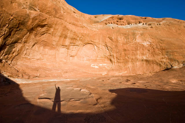
This one got screwed up when I bumped the tripod, but I kind of like the way it looks

Another great day in the books!
Ending Odometer: 144260 | Total Miles: 220
This one got screwed up when I bumped the tripod, but I kind of like the way it looks
Another great day in the books!
Ending Odometer: 144260 | Total Miles: 220
Day 4 | Tuesday, October 6, 2009 | Starting Odometer: 144260
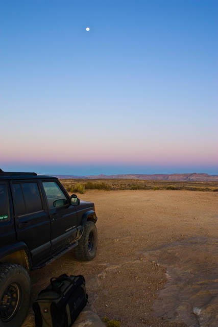
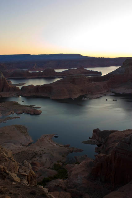
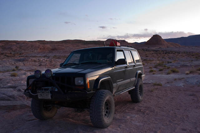
It was a great start to a day. The wind had finally died down overnight and I woke up to a great sunrise over Lake Powell from Alstrom Point. Since it was my mom's birthday and I had full signal up there, I gave her a call to wish her a happy birthday. I took some photos before packing up the Jeep and heading back to Big Water from some more gas.
Packing up
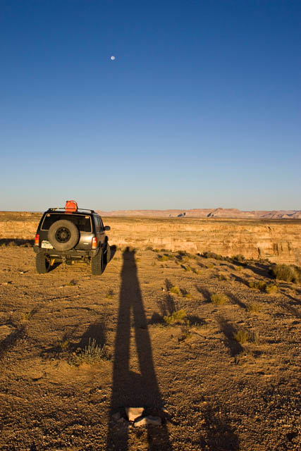
The Moon
Instead of taking the route I came by, I decided to check out the Tibbet Canyon and Nipple Creek trails which formed a loop off off the Smoky Mountain Road not too far from Alstrom Point.
Tibbet Canyon

Instead of taking the route I came by, I decided to check out the Tibbet Canyon and Nipple Creek trails which formed a loop off off the Smoky Mountain Road not too far from Alstrom Point.
Tibbet Canyon
Nipple Butte
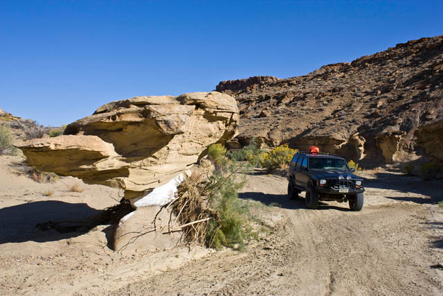
Mushroom Shaped Rock along Nipple Creek
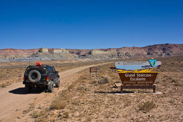
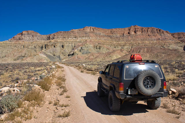
After completing the loop, I headed up the long and dusty Smoky Mountain Road over the desolate Kaiparowits Plateau to Escalante. While the scenery along this road was nice....the highlight of the road was the climb up Kelly Grade.
Along the Smoky Mountain Road in the Glen Canyon NRA
Back into the GSENM
Mushroom Shaped Rock along Nipple Creek
After completing the loop, I headed up the long and dusty Smoky Mountain Road over the desolate Kaiparowits Plateau to Escalante. While the scenery along this road was nice....the highlight of the road was the climb up Kelly Grade.
Along the Smoky Mountain Road in the Glen Canyon NRA
Back into the GSENM
Headed towards the Kelly Grade
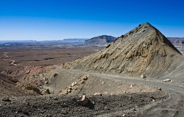
Climbing the Kelly Grade
Surrounded by great colors!
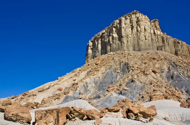
Overlook at the top of the Kelly Grade
Climbing the Kelly Grade
Surrounded by great colors!
Overlook at the top of the Kelly Grade
Further along the Smoky Mountain Road after some high speed driving across the top 
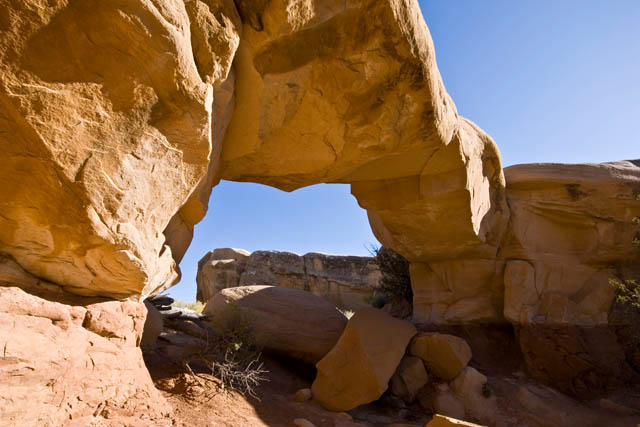
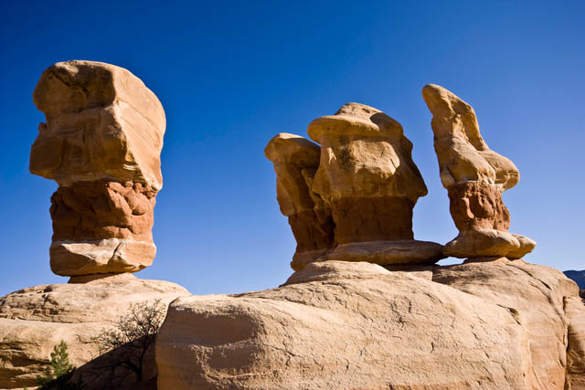
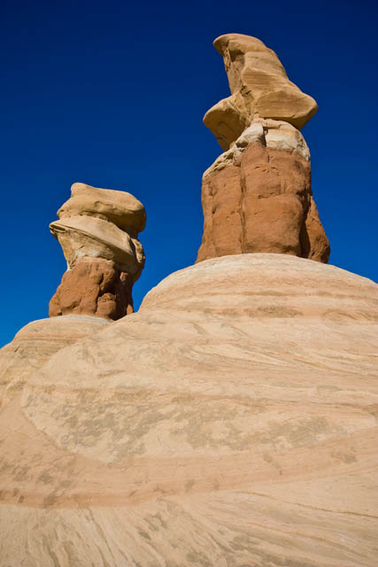
I made it to Escalante for a late lunch at the Golden Loop Cafe to decide where I would head that evening. I ended up deciding to take the Hole in the Rock Road east of town until it got dark and that's where I would setup camp. Along the way I stopped at the Devil's Garden to explore and took a bunch of photos. It reminded me of a smaller Goblin Valley with bigger and more spread out goblins.
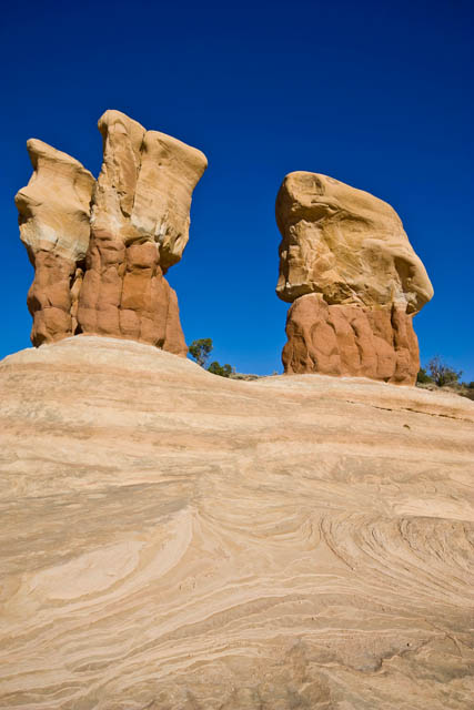
Metate Arch
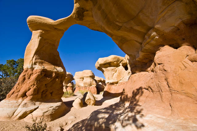
Mano Arch
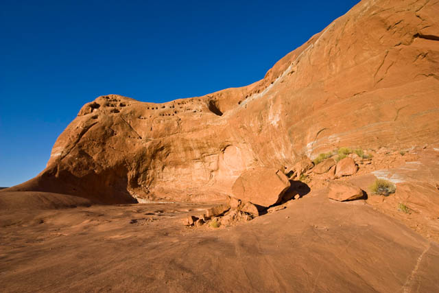
Further along I reached Dance Hall Rock as the sun was getting low in the sky. Made for some good photos.
Dance Hall Rock
I made it to Escalante for a late lunch at the Golden Loop Cafe to decide where I would head that evening. I ended up deciding to take the Hole in the Rock Road east of town until it got dark and that's where I would setup camp. Along the way I stopped at the Devil's Garden to explore and took a bunch of photos. It reminded me of a smaller Goblin Valley with bigger and more spread out goblins.
Metate Arch
Mano Arch
Further along I reached Dance Hall Rock as the sun was getting low in the sky. Made for some good photos.
Dance Hall Rock
Long shadows

In the end, I actually ended up reaching the Hole in the Rock just after sunset while there was still a little light left. Looks like I would be camping at the end of the trail near Lake Powell again.
Hole in the Rock, just after sunset

My campsite for the night
Ending Odometer: 144445 | Total Miles: 185
CF Veteran
wow i leave for a couple days and come back with a ton to catch up on. amazing photos and story to go along with the photos. cant wait for more.
in that last photo, did you set up a tent, or were you just sleeping in the xj?
in that last photo, did you set up a tent, or were you just sleeping in the xj?
Quote:
I didn't feel like setting up my tent that night, so I just slept in the JeepOriginally Posted by JakeWI
in that last photo, did you set up a tent, or were you just sleeping in the xj?
CF Veteran
That does it, I'm selling the house and moving out Utah. Not just for the scenery but because you know you should never wheel alone and I need to make sure that you don't get stuck somewhere.
As always, beautiful photos.
As always, beautiful photos.