
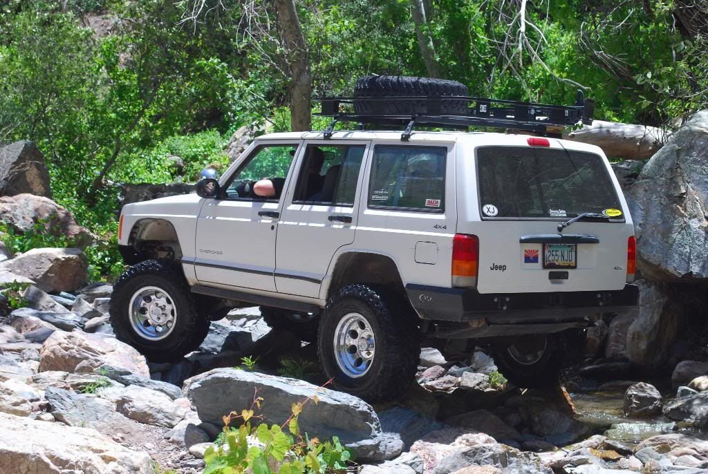
Arizona Mountain Trip

Thread Starter
Member
Joined: Mar 2009
Posts: 245
Likes: 0
From: Mesa, AZ
Year: 1998
Model: Cherokee
Engine: 4.0
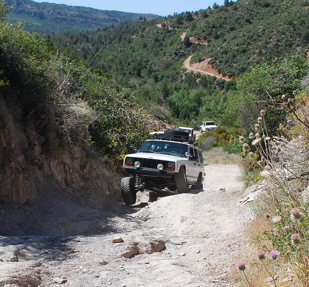
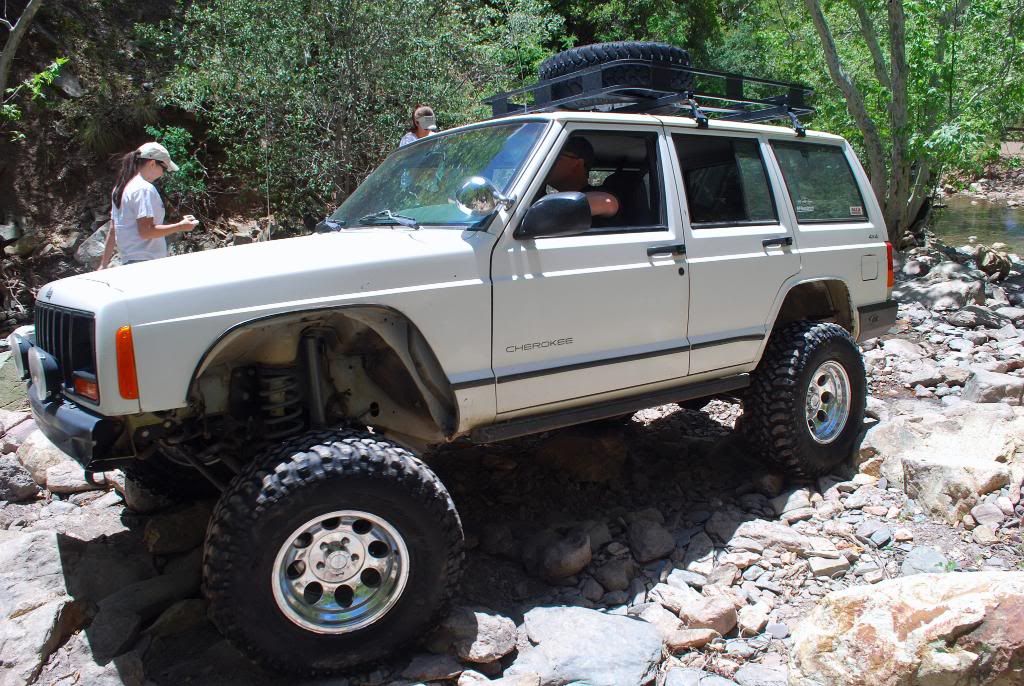
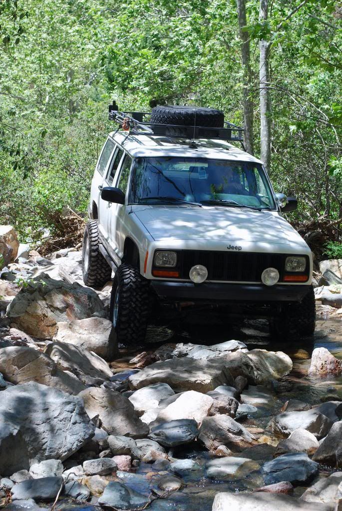
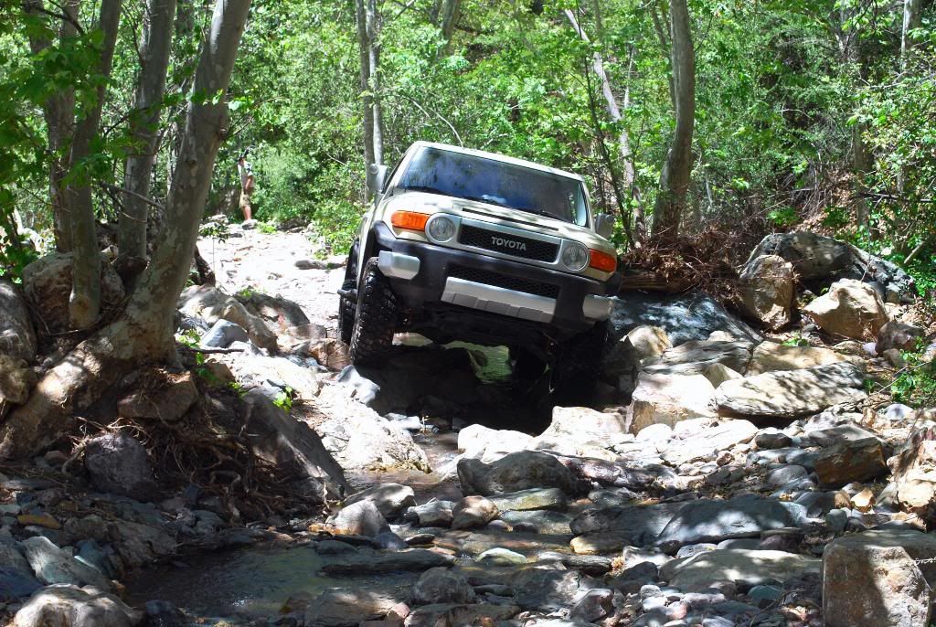
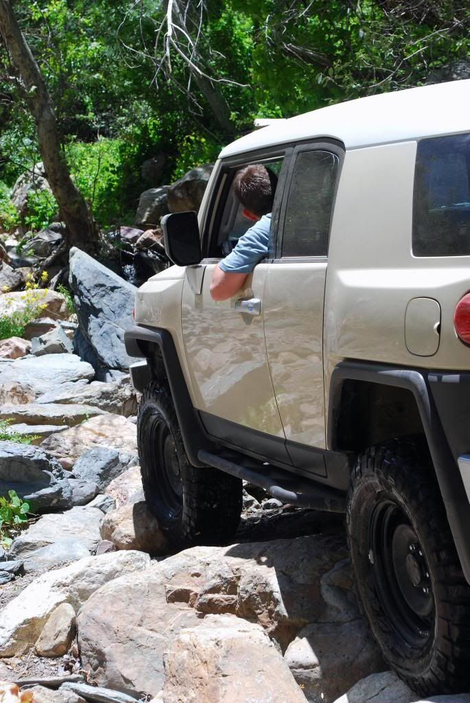
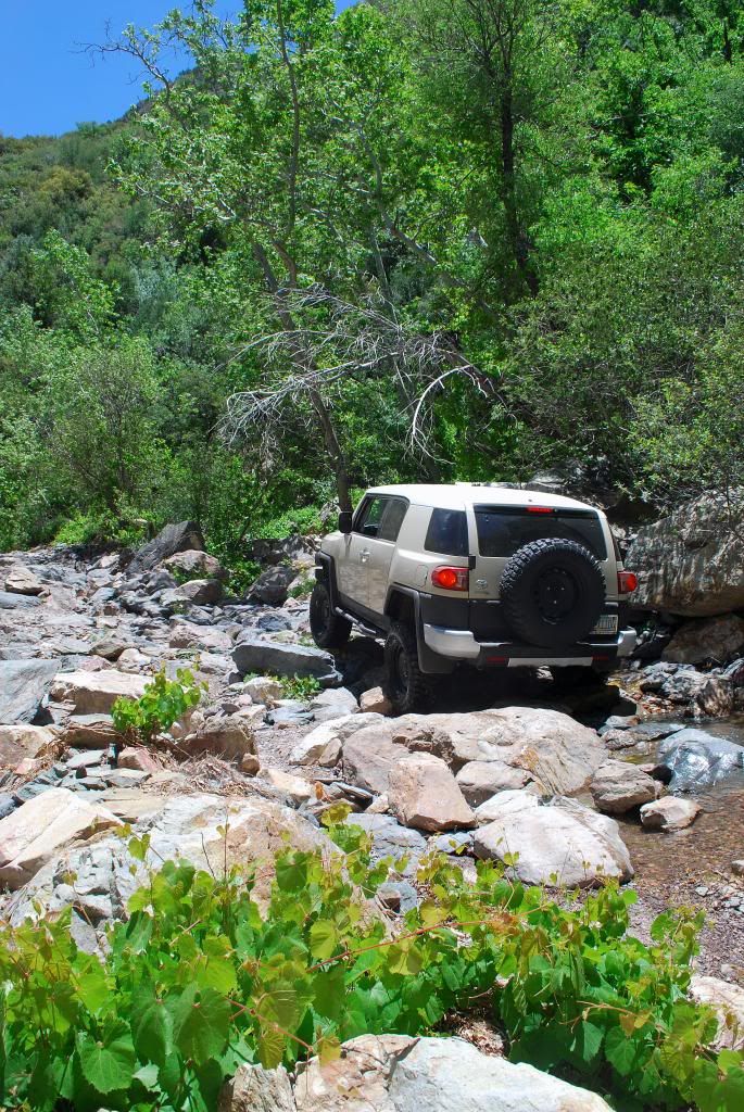
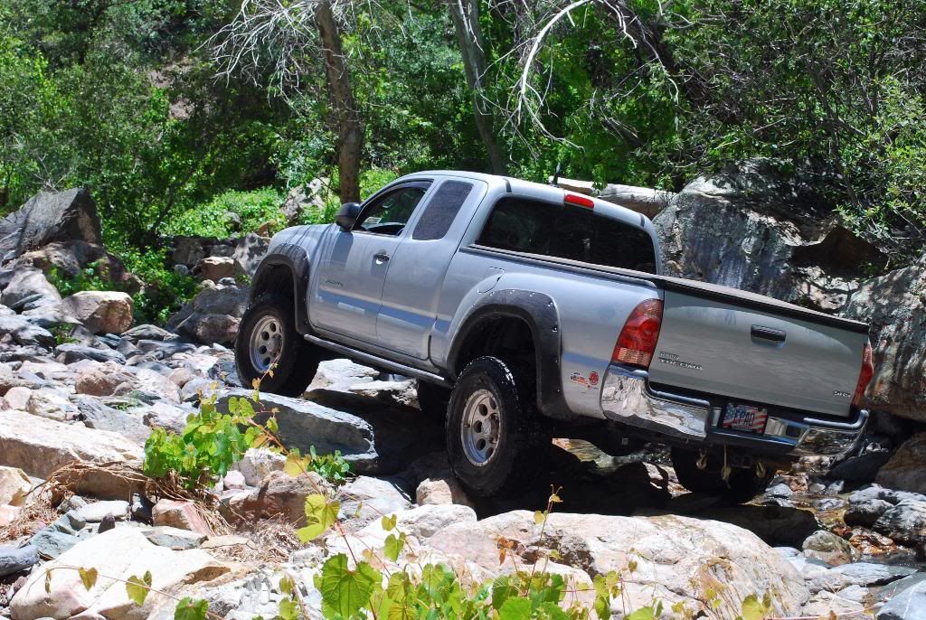
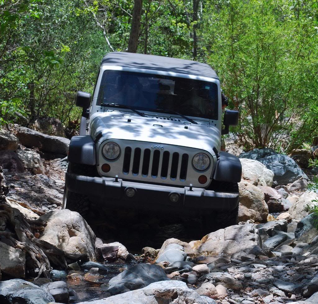
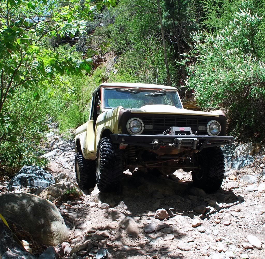
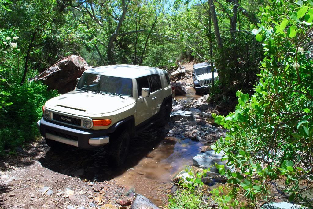
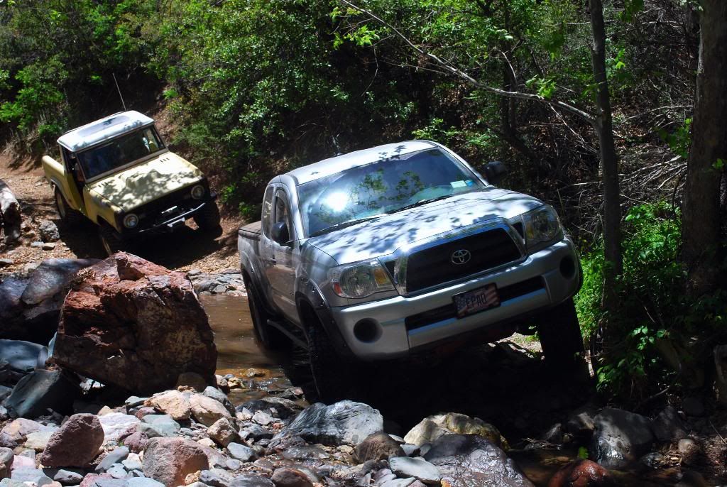
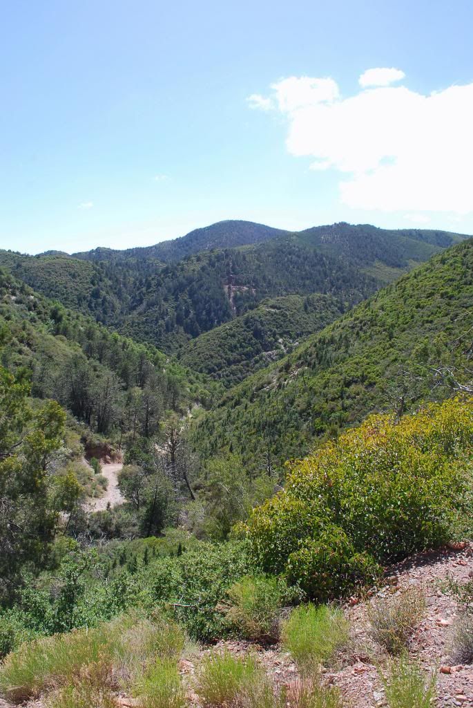
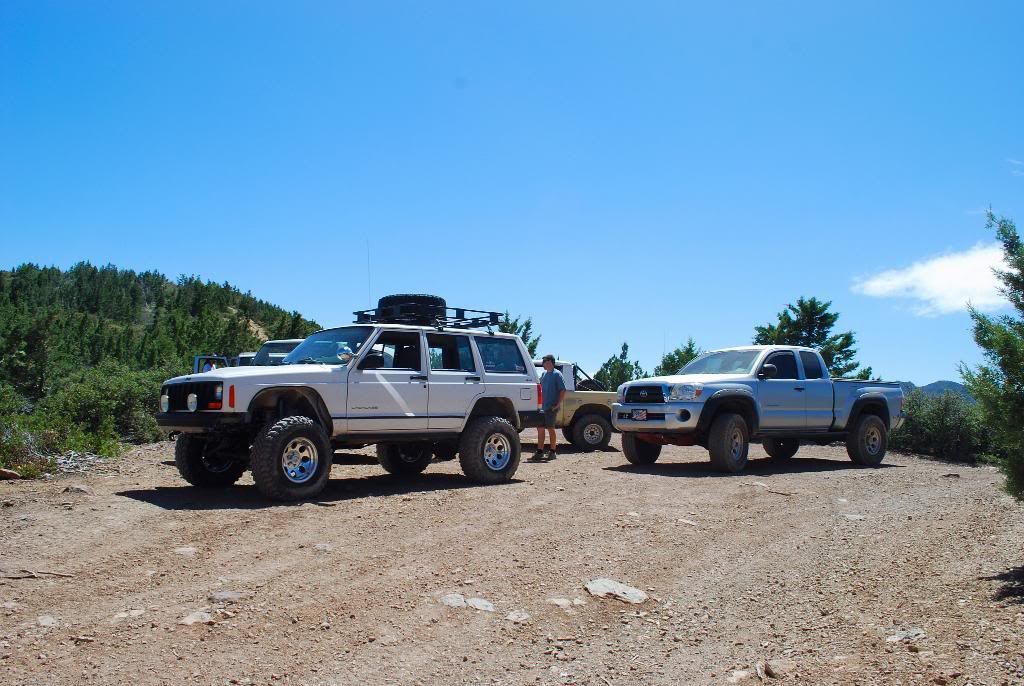
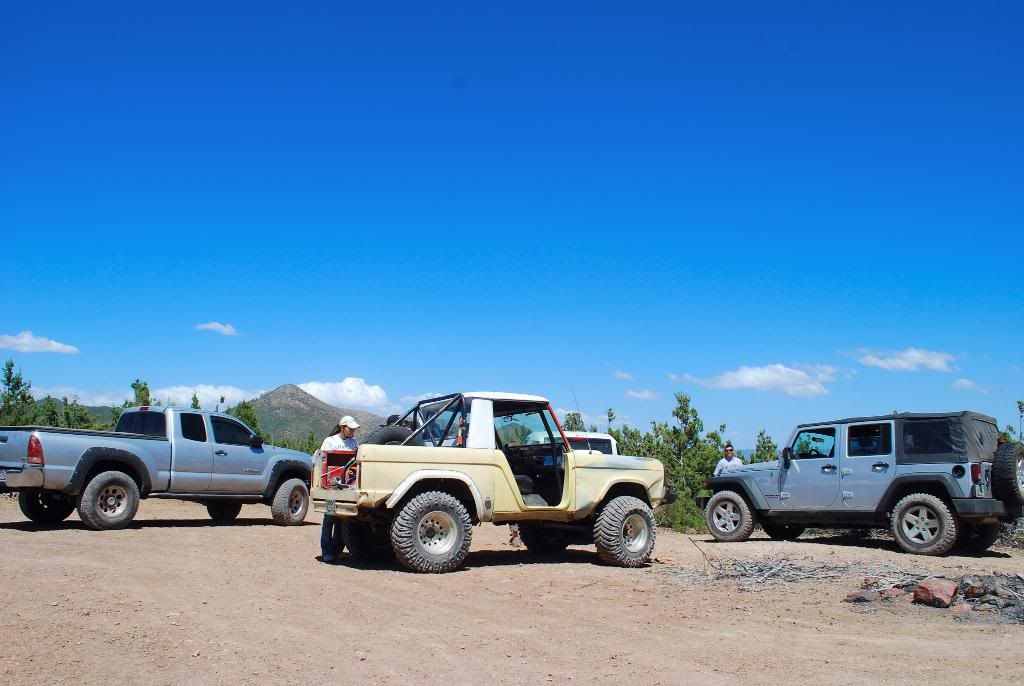
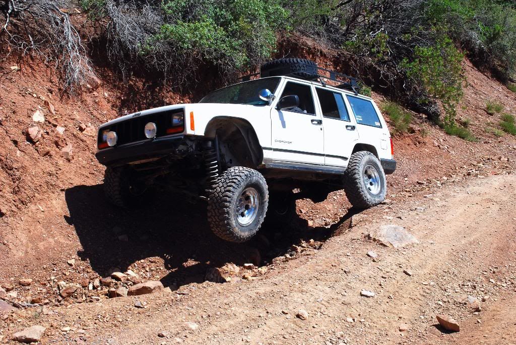
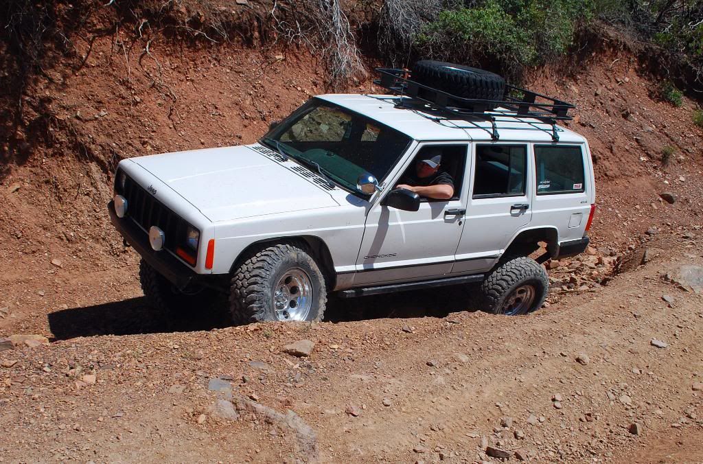
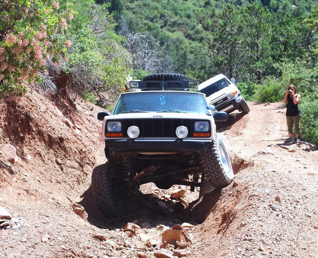
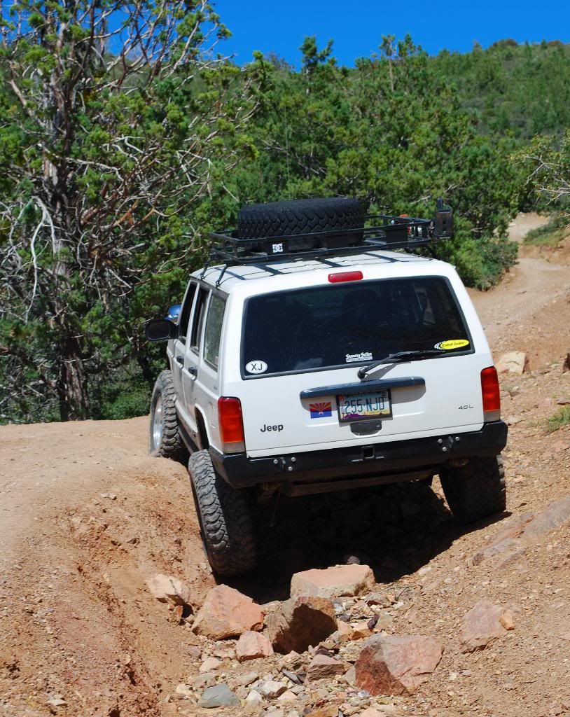
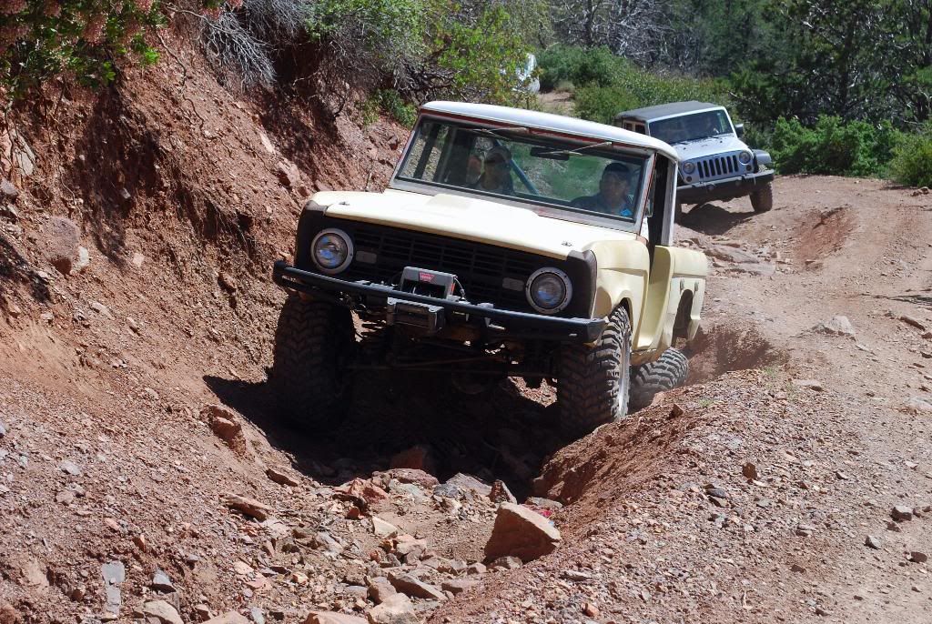
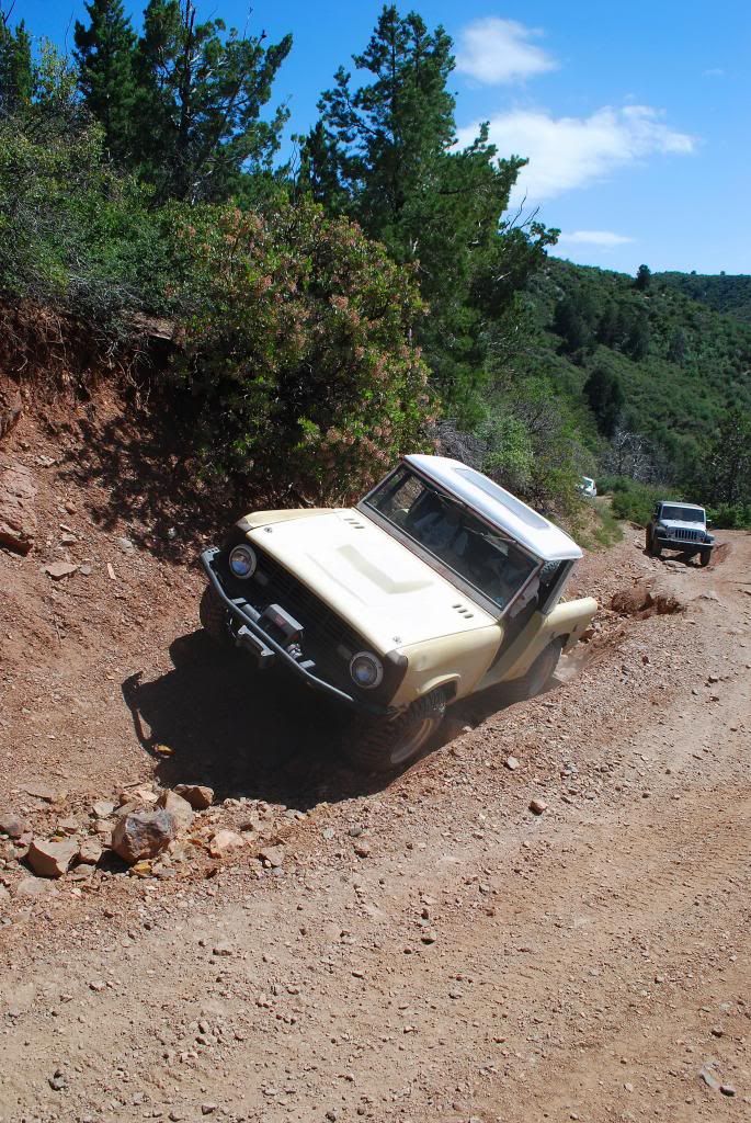
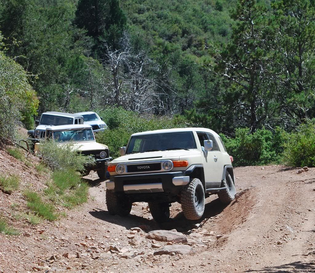
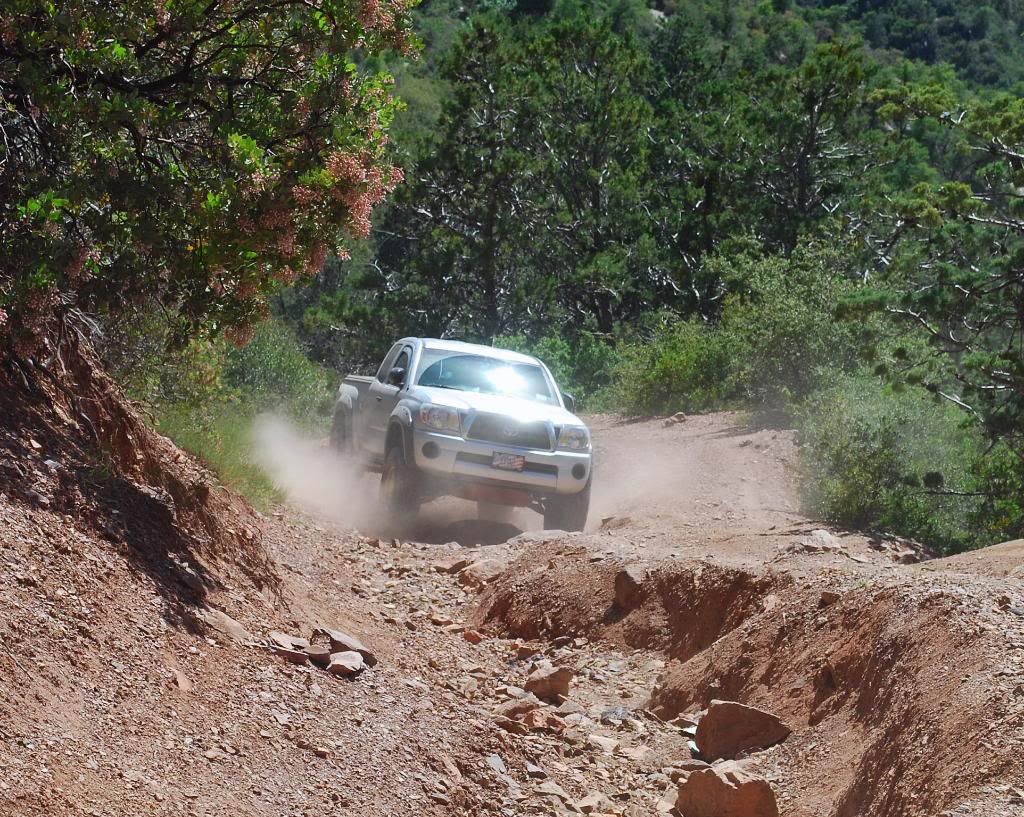
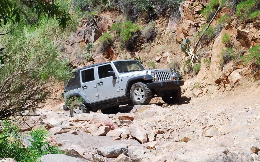
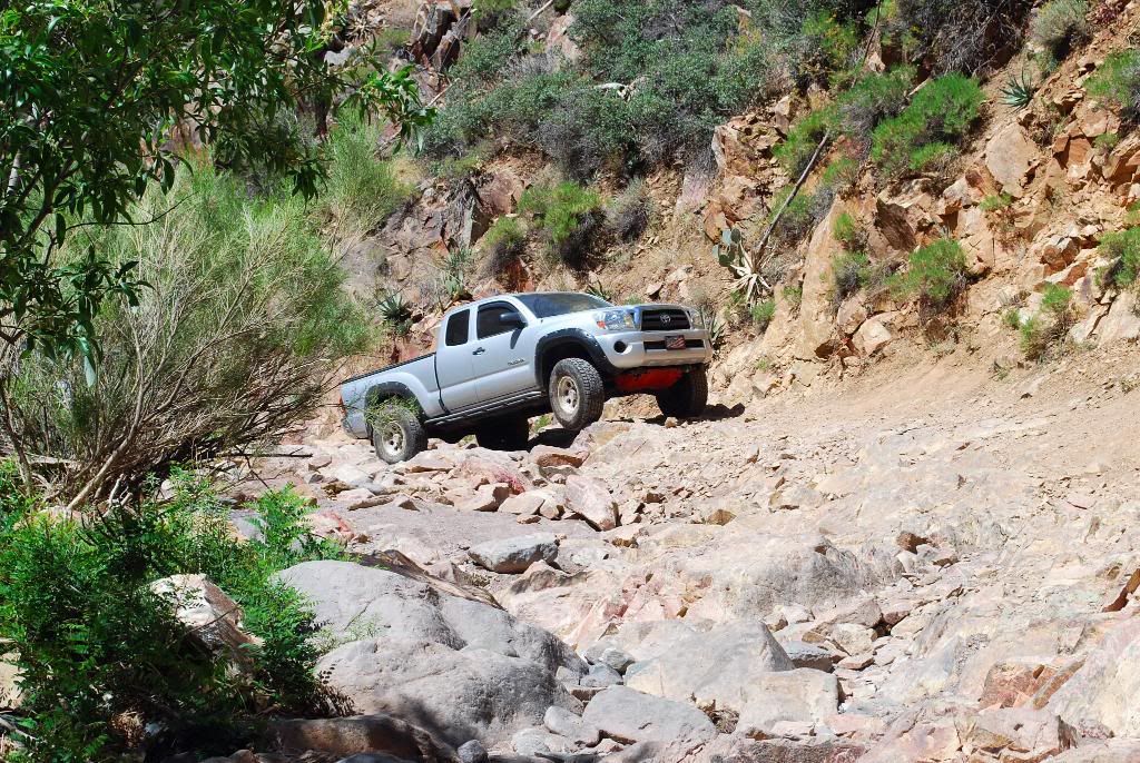
Hit up Sunflower Mine Loop in central Arizona this last weekend. Kind of a rare trip where I was the only XJ, in fact it was a pretty wide range of rigs in the group that day.
We got a lot more rain and snow this winter, but the good thing is it always clears out the trails, the rock sections were much more fun than I've remembered.
We got a lot more rain and snow this winter, but the good thing is it always clears out the trails, the rock sections were much more fun than I've remembered.
Thread Starter
Member
Joined: Mar 2009
Posts: 245
Likes: 0
From: Mesa, AZ
Year: 1998
Model: Cherokee
Engine: 4.0
Trending Topics
Honorary Moderator
Joined: Mar 2010
Posts: 8,135
Likes: 16
From: Gilbert AZ/Las Cruces NM
Year: 1996
Model: Cherokee
Engine: 4.0 upgraded
to get there take HWY 87 north and turn left on road marked to sycamore creek/mt. ord- 0.6 miles past mile marker 222.
follow paved road 1.2 miles to bottom of hill and turn right at cattle guard on F.S. 25
Description reset your odometer at start. Head north on F.S. 25. swing left and cross second cattle guard at 1.1 miles. bear left at next fork. Continue strait at 3.8 miles on F.S. 25A. Road worsens. Cross creek at 4.8 and bridge at 5.1. narrow road to sunflower mine goes uphill to left at 5.6 miles. Walk 1.4 mile to the mine or drive if gate is open. Difficult part of the trail begins at 5.1 as trail follows rocky creek bed. Make hard right up steep rock wall at 6.5 on F.S. 3722. turn right at T at 7.1. Several roads crisscross at top of hill at 7.4 miles. Head southeast down hill on F.S. 201A. Drivers choice at 7.5: right is easier. Steep descent on narrow self road at 8.6. Watch for falling rock. At bottom of the hill, trail swings left past 2 open mine tunnels crosses creek then heads to opposite direction. Climb steeply up washed out road to F.S. 201 at 9.5 miles. Turn Right and head downhill. Return to start at 13.1
To access a map Tonto National Forest, USGS 7.5 minute nap reno pass, AZ N3352.5-W11122.5/7.5, Arizona atlas and gazetteer.
Information out of my book:
Guide to Arizona Backroads & 4-wheel drive trails(available at barnes and noble-thats where i got mine)


Thread
Thread Starter
Forum
Replies
Last Post
4WD4EVER
Modified XJ Cherokee Tech
28
Jul 28, 2023 07:12 PM
extrashaky
Other Vehicles. Other Jeep models & cars and trucks of other makes
17
Jun 17, 2023 03:57 PM
tleed
Stock Grand Cherokee Tech. All ZJ/WJ/WK Non-modified/stock questions go here!
3
Oct 4, 2015 01:20 PM
Currently Active Users Viewing This Thread: 1 (0 members and 1 guests)